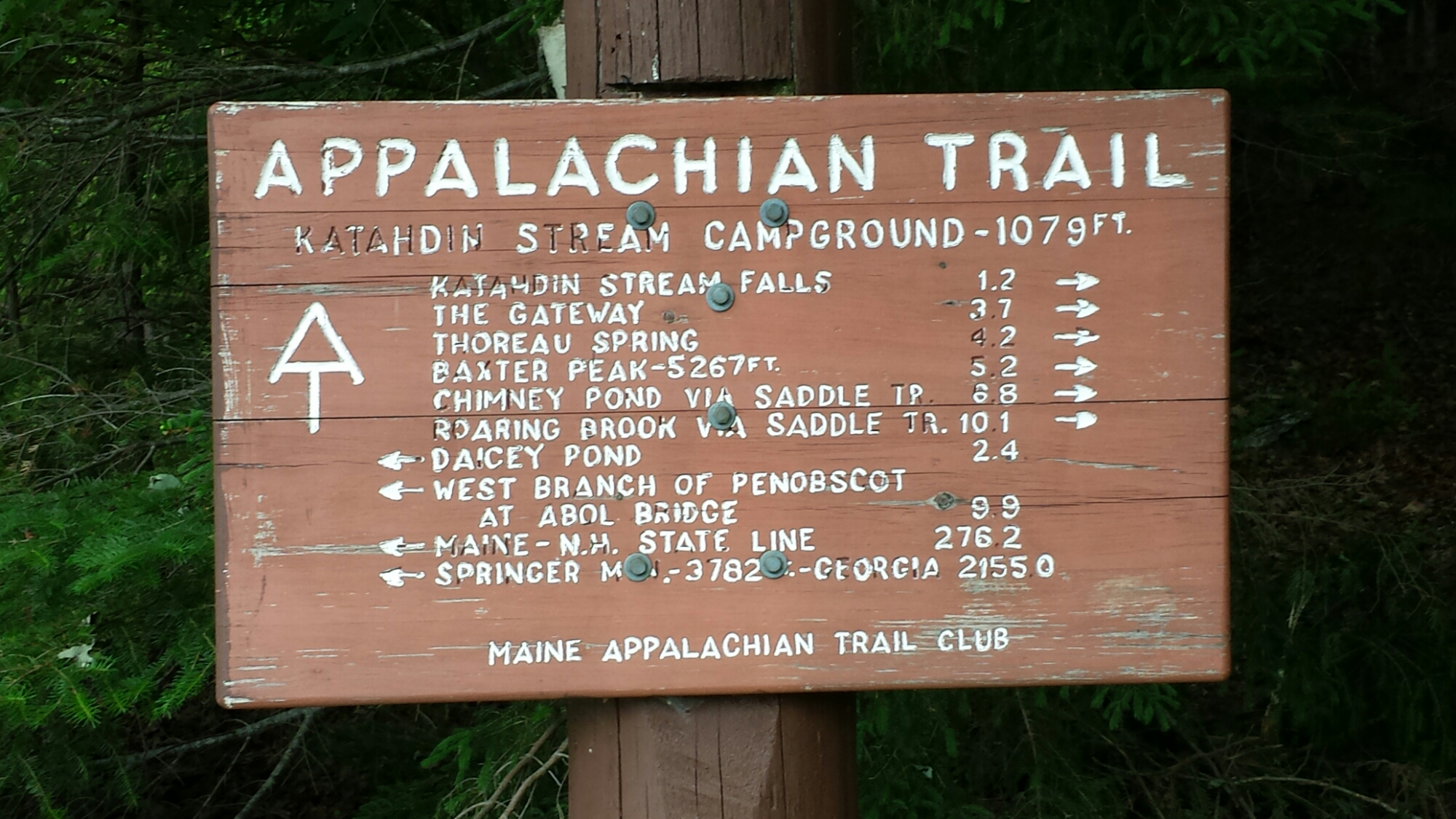
All: first off, let me explain/apologize for the lengthy delay. The single longest stretch of the AT where hikers do not encounter any towns- essentially the most remote section of the trail- is the 100 miles that begins 15 miles from the northern terminus (Mount Katahdin). The stretch is called the “100 mile wilderness” and the photo you see here is of the sign that warns hikers at either end of the 100 miles (this one is the one I encountered when exiting it to the south).
The remoteness requires added pack weight due to the need to carry extra food and fuel, and it challenges one on many fronts due to the enhanced risk associated with physical problems, broken gear, etc. I experienced both.
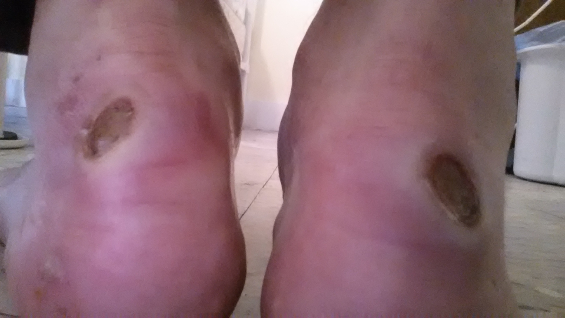
I made a poor decision to get new shoes a week before starting since I had worn down the pair I hiked in during May and June. The new shoes tore nickel sized craters on each of my heels, which I was forced to hike on for the full 100. Doing 15 mile days through heavy up and down trails, dodging roots and rocks with every step and slogging through the aftermath of hurricane Arthur made it a supreme physical challenge. Additionally, my water filtration system failed with 3 days left and I had to scramble to borrow replacent parts from others. I’ve included a picture of my heels, but don’t recommend viewing while eating!
If any of you are interested in tracking progress on a map, I am writing from Shaw’s Lodging in Monson, Maine, 115 miles into my journey. I’ve got REI sending replacement shoes and will be holed up here relaxing until then. I’m watching the world cup at the hostel with a pair of German hikers! I’ll post a bunch more photos this afternoon…am just testing to make sure the upload features work as expected. More to come in a few minutes.


