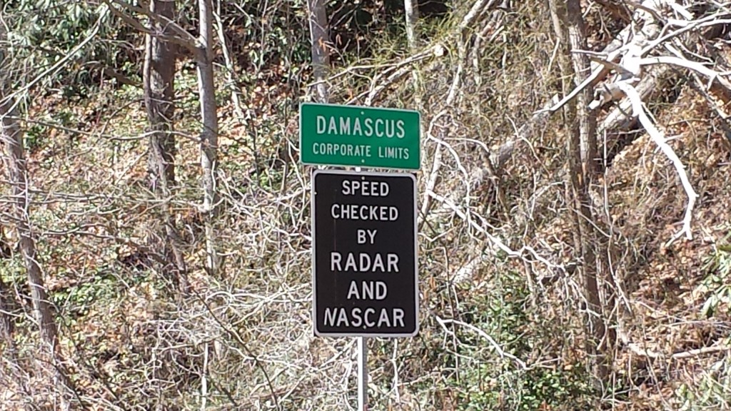
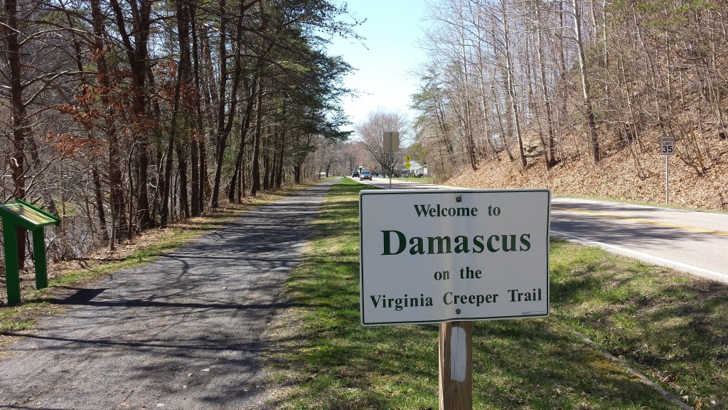
According to the Appalachian Trail Conservancy website, Virginia (the longest state on the AT) contains 550.3 miles of the trail. Sitting in the Damascus, Virginia public library on this morning of March 24th, I am poised to cross the Virginia/Tennessee border tomorrow morning, in 3.3 miles.
Nice…
I’ve been thinking about this town walk for 200 miles
As much as I’ve loved the hiking in this great state, I’m glad to see progress, warmer weather and changing trail conditions. Over the past couple of weeks I’ve gone from near total isolation to finally sharing shelters occasionally (twice). Once with a great section hiker named Sunshine, and then a few nights later with Gator, Shitfoot and 0311, a trio of motivated Nobos.
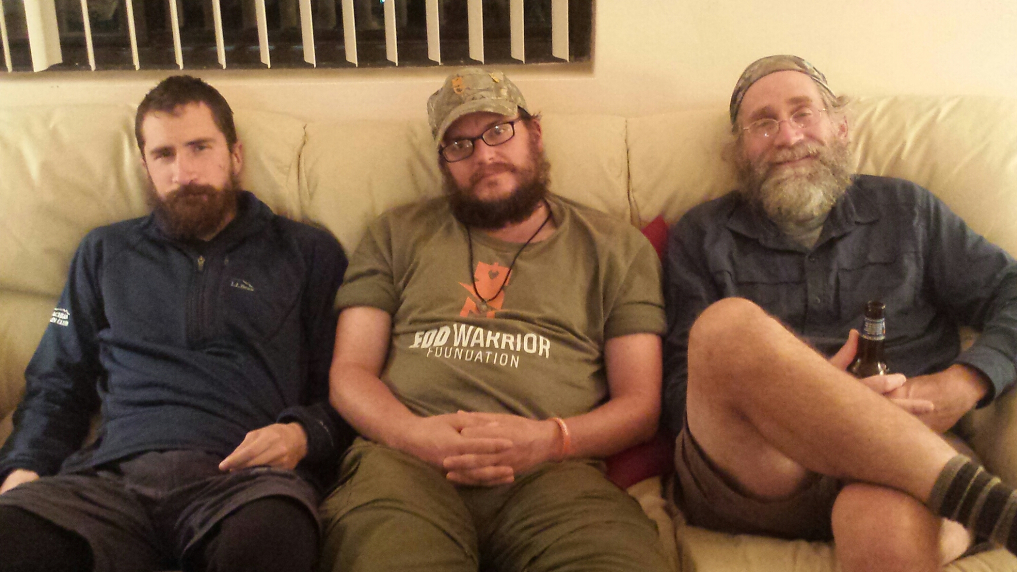
Nacho Libre (left) and the Professor
I’ve started seeing Nobos since Mount Rogers, including the amazing Nacho Libre, the Professor, OC, Montana and the Hiking Vikings who camped last night at The Place (Methodist hostel) where I am also staying in Damascus, VA.
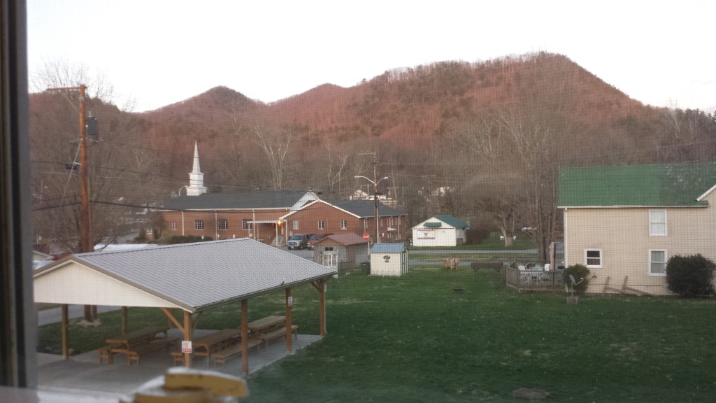
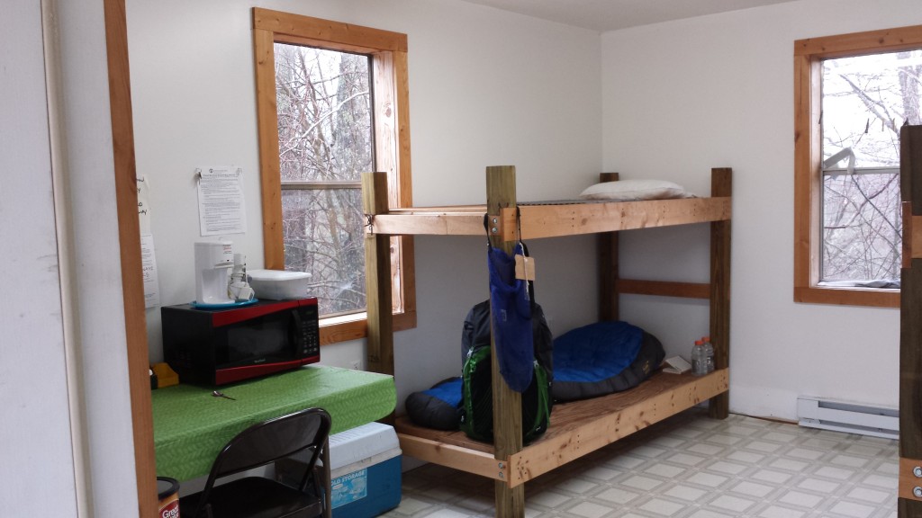
View through my window screen at the Methodist church hostel, “The Place“
This town is well-known for Trail Days, the biggest annual event on the AT (in mid-May). Its a good trail stop with home-cooked food options, several great outfitters and lots of hiker-friendly places (read: high degree of olfactory tolerance) to stay.
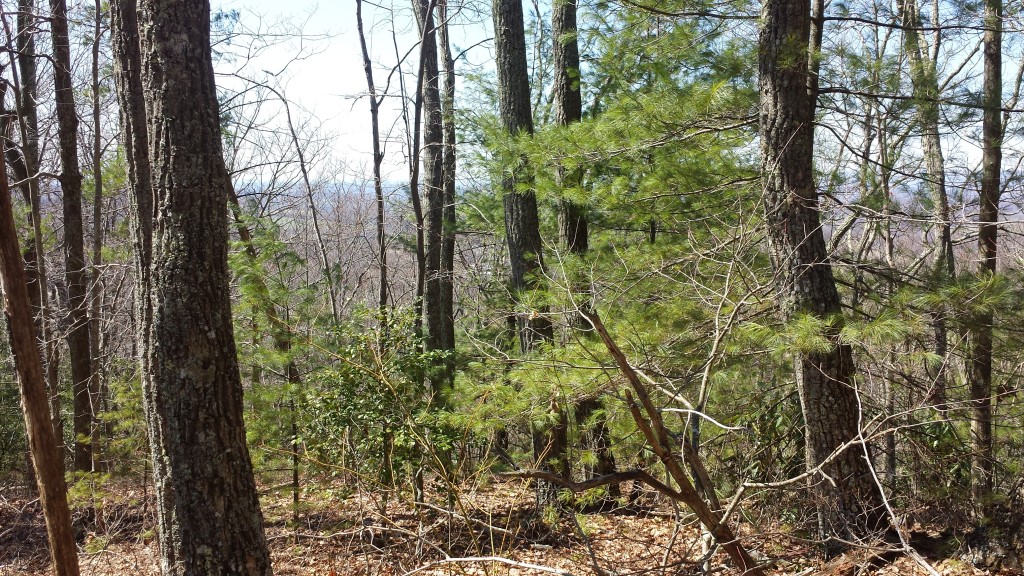
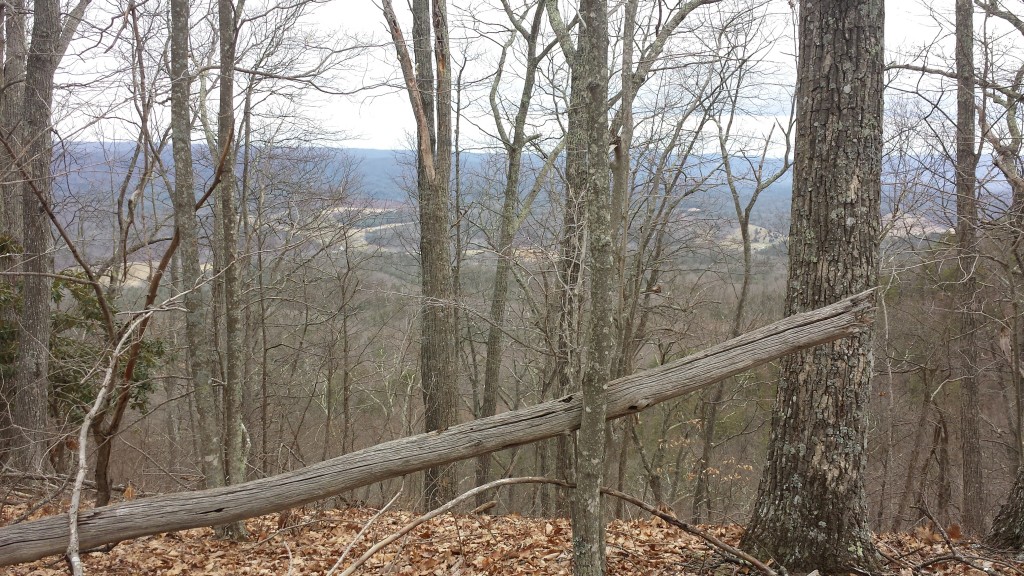
Glorious spring day on the ridge above Damascus
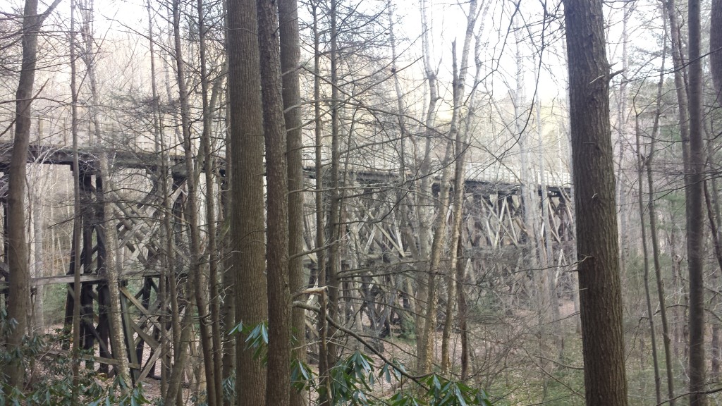
Trestle just north of Damascus
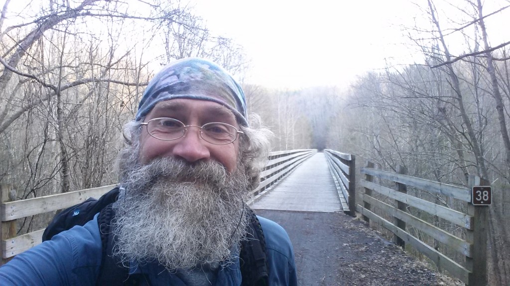
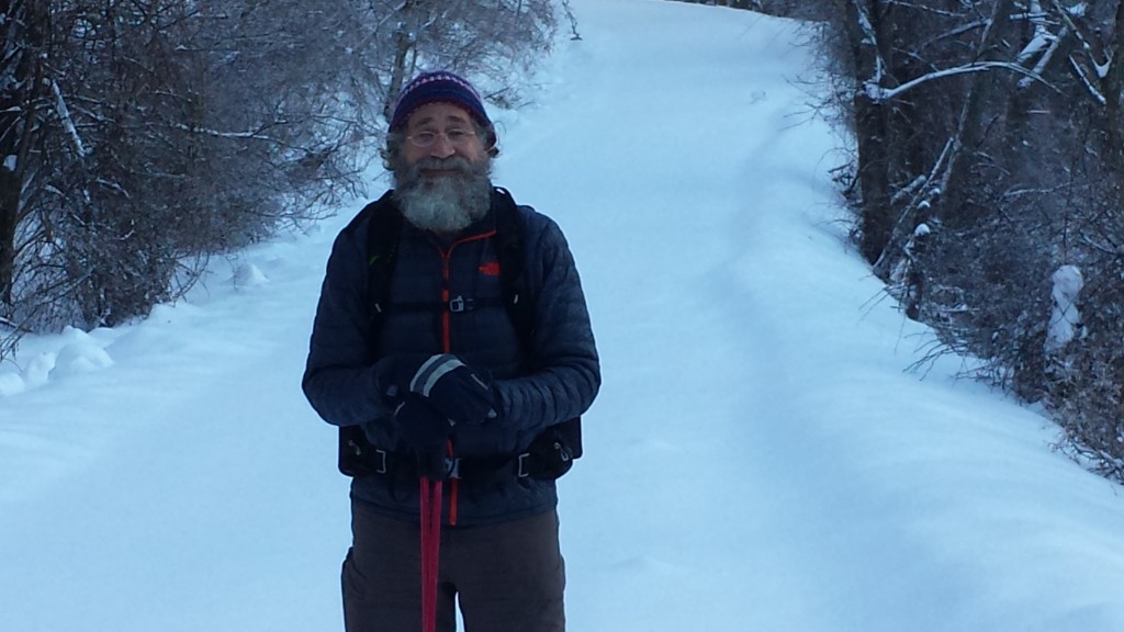
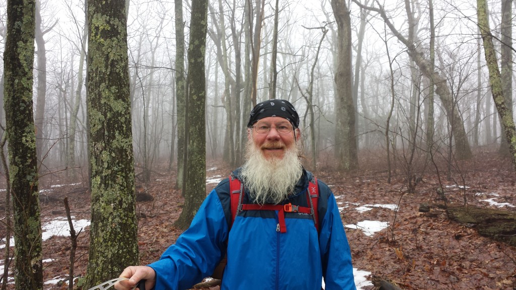
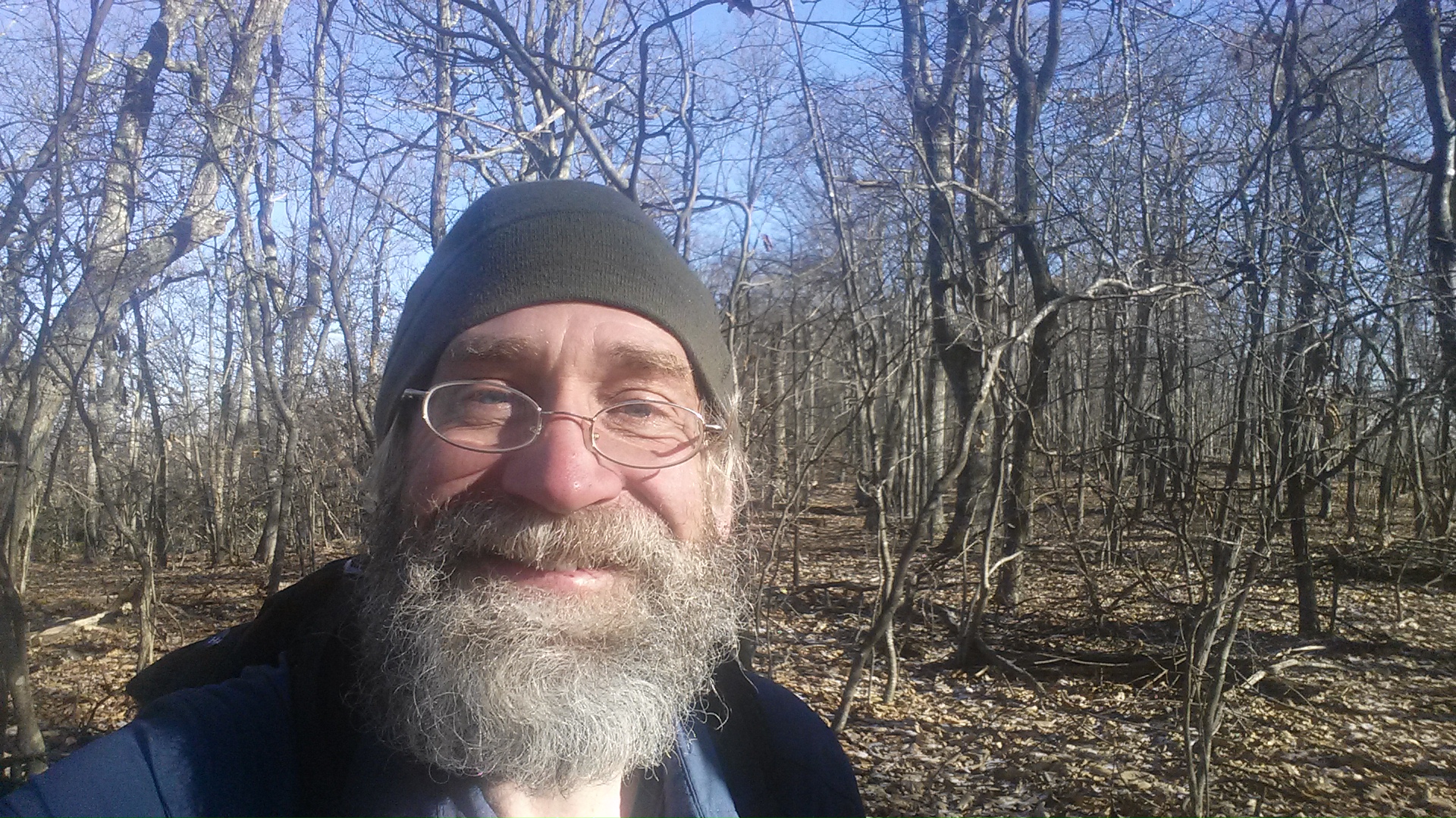
Me on the trestle…geez I’m gettin’ hairy
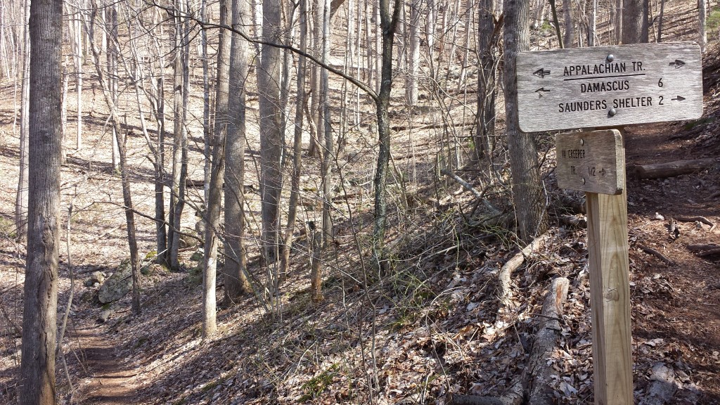
At a trail switchback: my origin path goes up on the right and destination path descends lower left
Perhaps not surprisingly, the uptick in trail encounters has coincided with warmer weather and less snow. The only icy patches I’m seeing now are remote spots in high elevation that get little sun. But for the odd/shortlived April snowstorm I am hoping the worst cold is behind me. The weather report for the next 7 days looks relatively clear and warm with only a couple of cold/rainy days expected during that time.
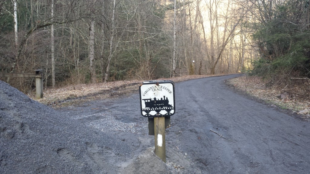
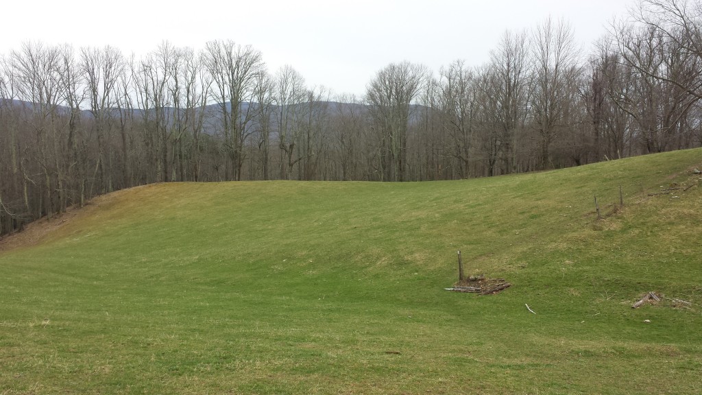
Virginia mountainside field
The AT coincides for some miles with the best-named trail I’ve come across: the Virginia Creeper
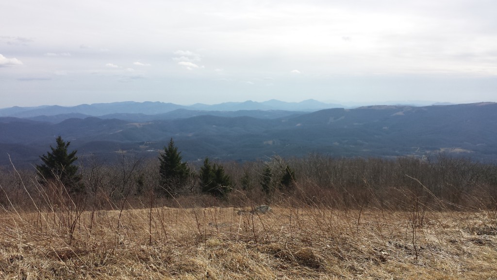
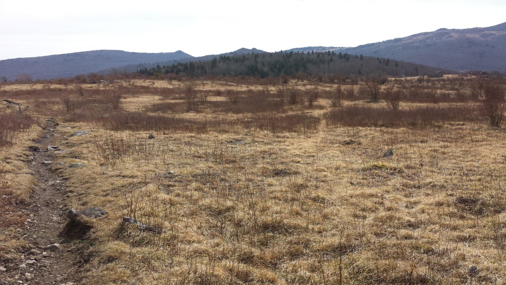
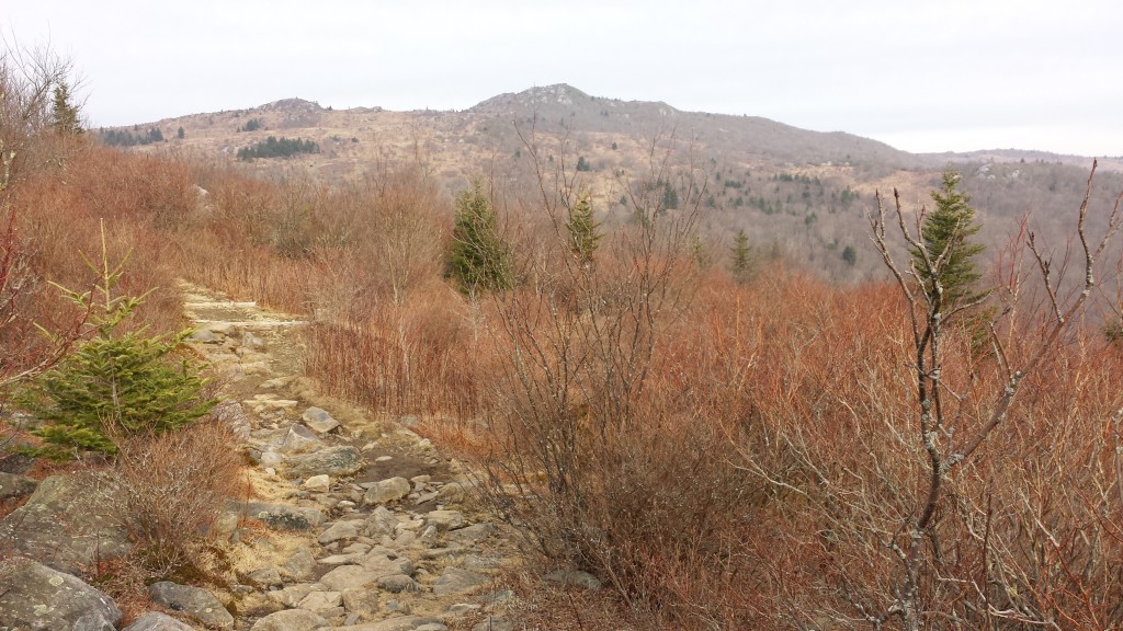
Virginia, or the Badlands?
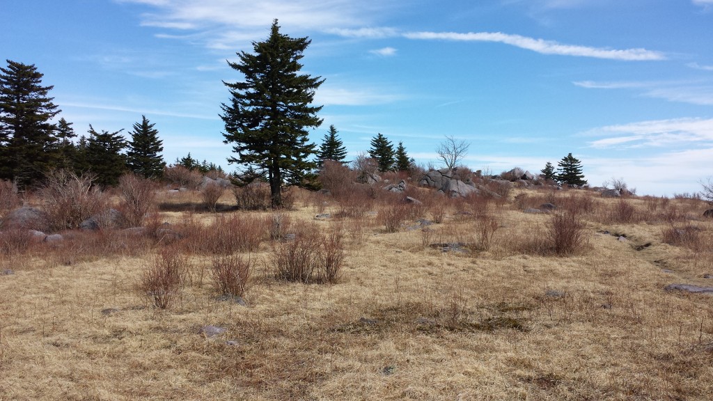
More Badlands, expecting to see Roy Rogers and Trigger emerge from the underbrush
I perched on Whitetop Mountain to take advantage of rare cell service and get caught up on news from home
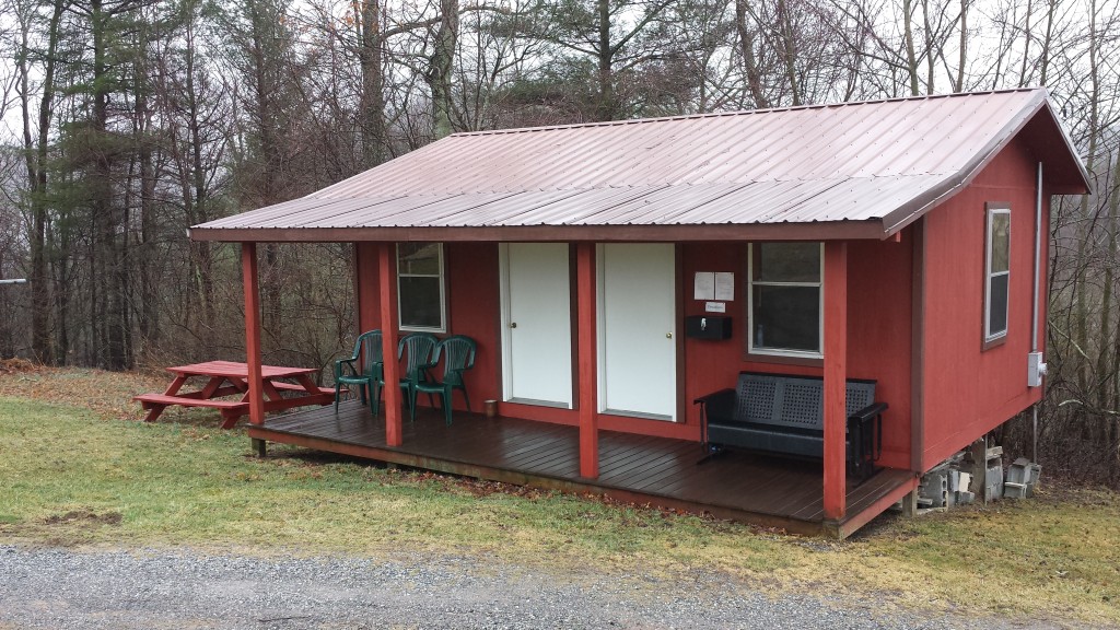
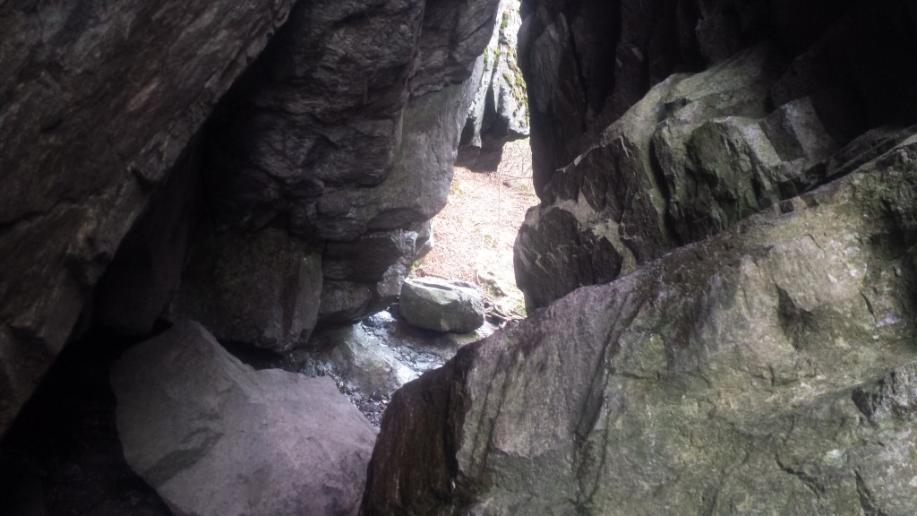
In through the “Fat-Man Squeeze”
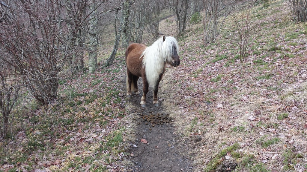
Hippie pony in Grayson Highlands, standing guard over his proud trail accomplishment
It really does feel like Virginia on the Ponderosa
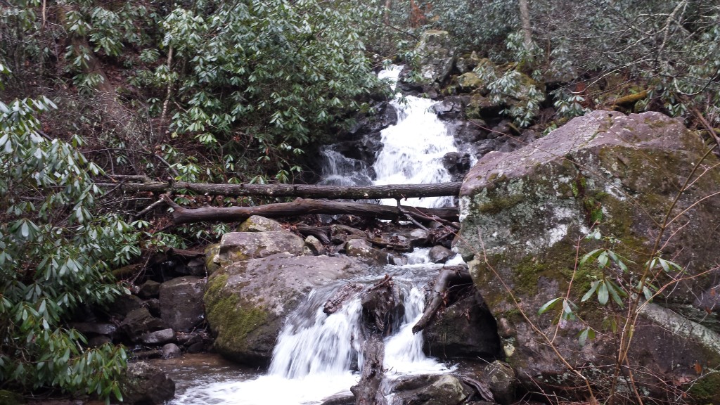
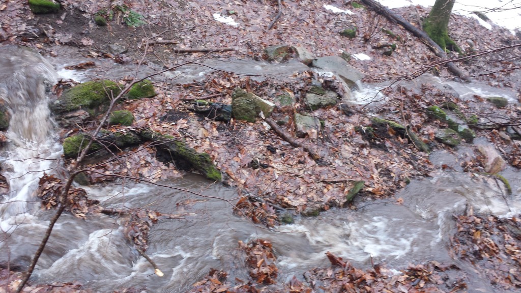
Copious water from snow run off and lots of rain
Troutdale Church Hostel, my refuge from a second consecutive day of cold wind and rain. Hitched a ride from Patti, a friend of Ishmael, the 71 year old thru-hiker I helped across Rainbow Stream way back in July in Maine.
Had the run of the place, the current norm on a quiet trail
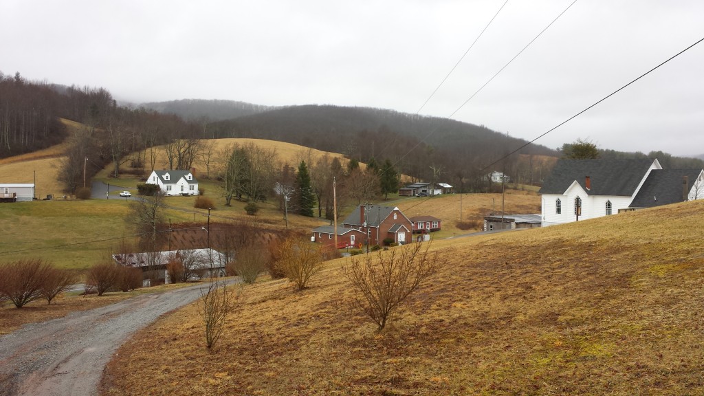
View of Troutdale from the hostel
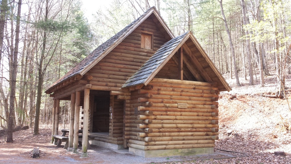
The beautiful “Partnership” shelter seemed like it could sleep 30 comfortably. The showers in the small room on the right were not working at the time, but it still felt like a Hilton. Note loft window on gable.
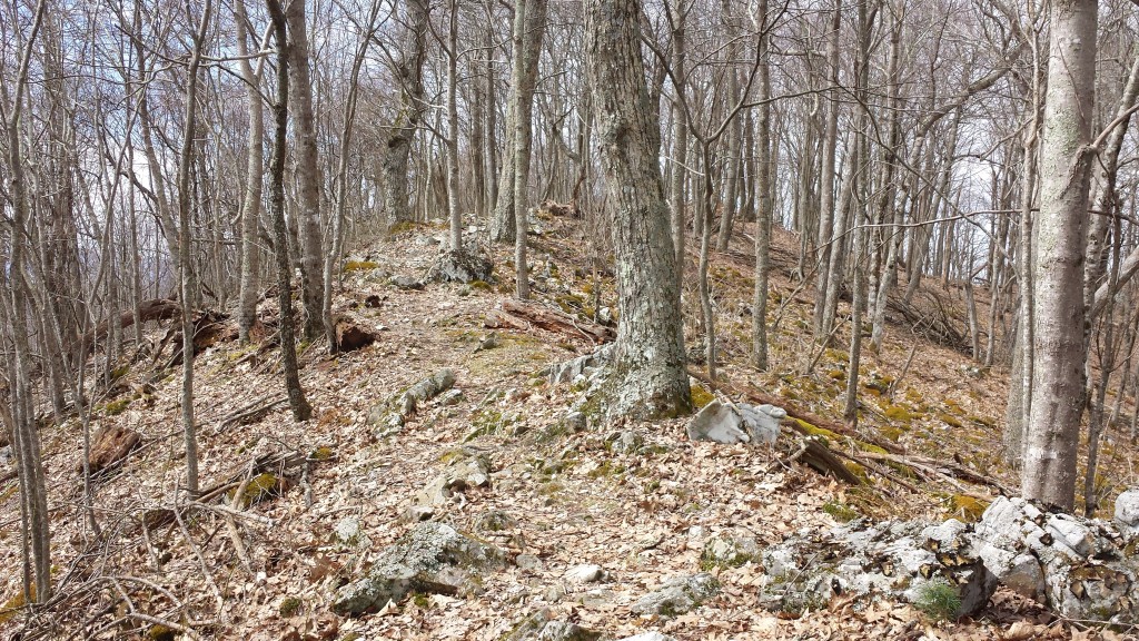
Walking another great Virginia ridge line surrounded by down slopes
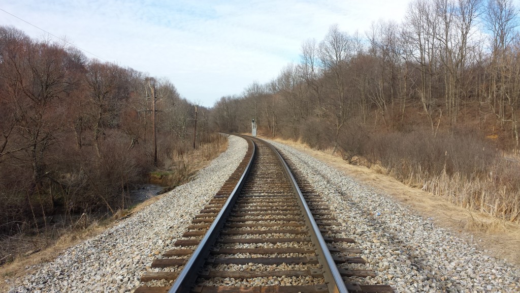
I just never get enough of train crossings
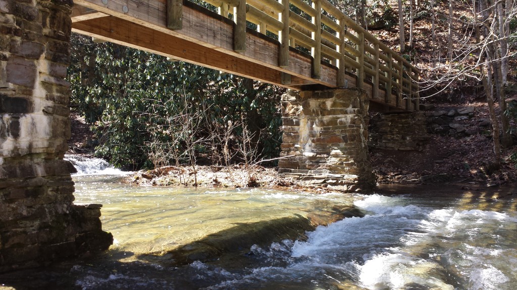
Sunny day snack break under a foot bridge
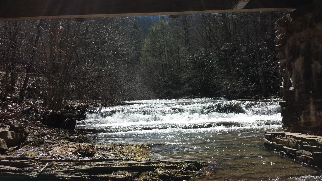
Another swollen river tumbles by
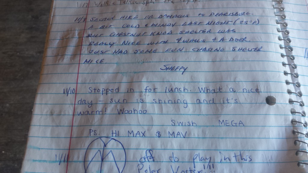
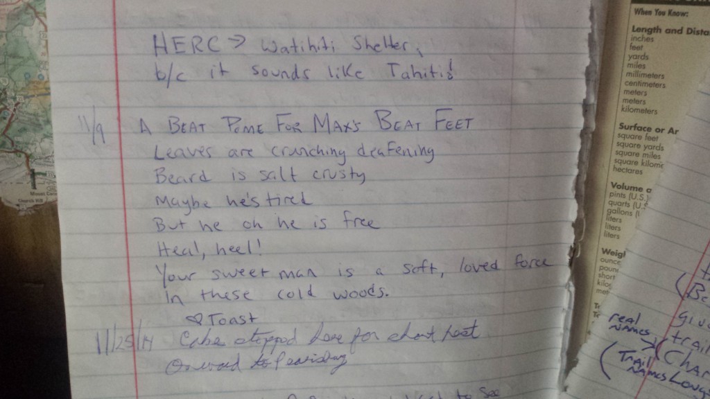
Months-old note from Swish in the shelter log
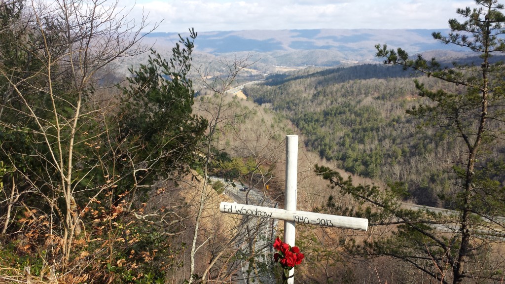
Trailside memorial a mile south of Bland, VA
I think the pictures this time around do fairly well at portraying the changing face of the trail during seasonal transition. Chilly days smudged with greys and dirty winter browns are offset by sudden punches of sky blues and fresh spring foliage greens. The Grayson Highlands area deserves special mention as the only place so far (in 1718 miles) that made me feel like I was in the badlands of the Dakotas or Montana, a sharp contrast against the surrounding rhododendron forests.
Thank you, sincerely, for tuning in again. My next update will likely be from Irwin, Tennessee around the end of March. See you then.
Sorry for the delay in posting this update but today is my first chance in front of a computer since leaving Minnesota. At the end of February I opted to take a bus to the trail instead of dropping my car off again, due in part to the surprisingly great experience I had in November busing up to Maine. The experience this time: two breakdowns totaling 10 hours, multiple assaults (including one on a police officer) and a variety of scary situations. Yeah.
“…and that ‘Hound broke down and left us all stranded, in downtown [Milwaukee]…”
When the Greyhound arrived in Roanoke, I caught the local bus to Blacksburg where Sagacious and Blueberry- two Sobo friends from the trail- helped me immensely over the course of the next week as I hiked in a semicircle around their town.
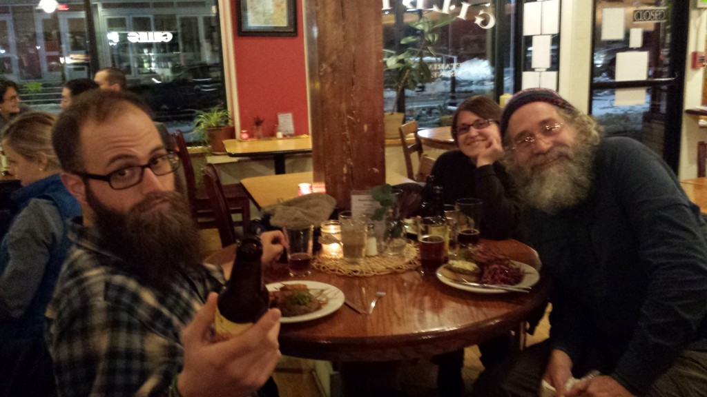
Special thanks to Sagacious and Blueberry for all their help getting me back to the trail. He since shaved- is this the last picture of his hiking beard?
The first four days back on the trail caught me by surprise: I trudged through deep snow the entire time and never saw another hiker. Between the trail conditions and my lack of trail legs, mileage was hard to come by. I tented all but one night and was happy at the gear changes I had made in the interim.
Sagacious dropped me here because the last mile of road (behind me) to the trailhead was deep with unplowed snow
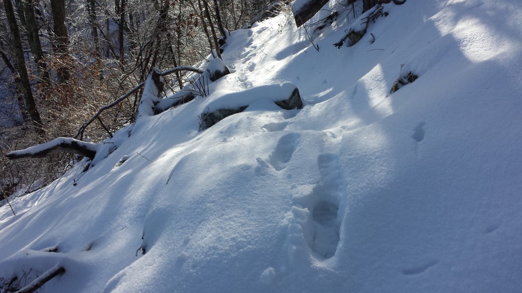
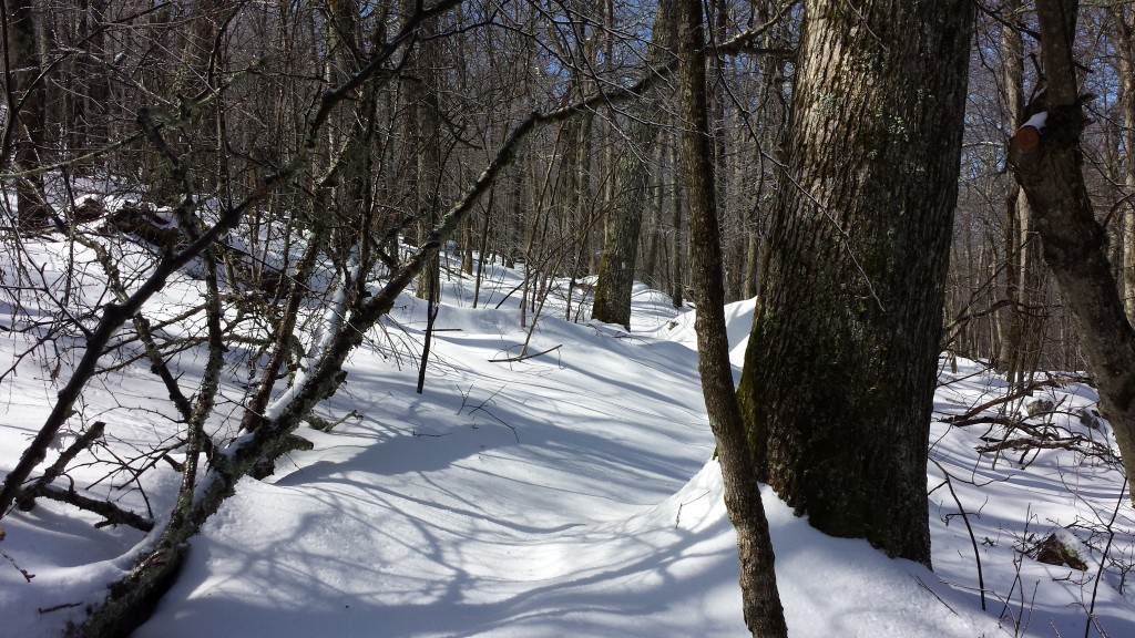
Trudging through deep snow and finding the trail- the two primary activities for the first few days
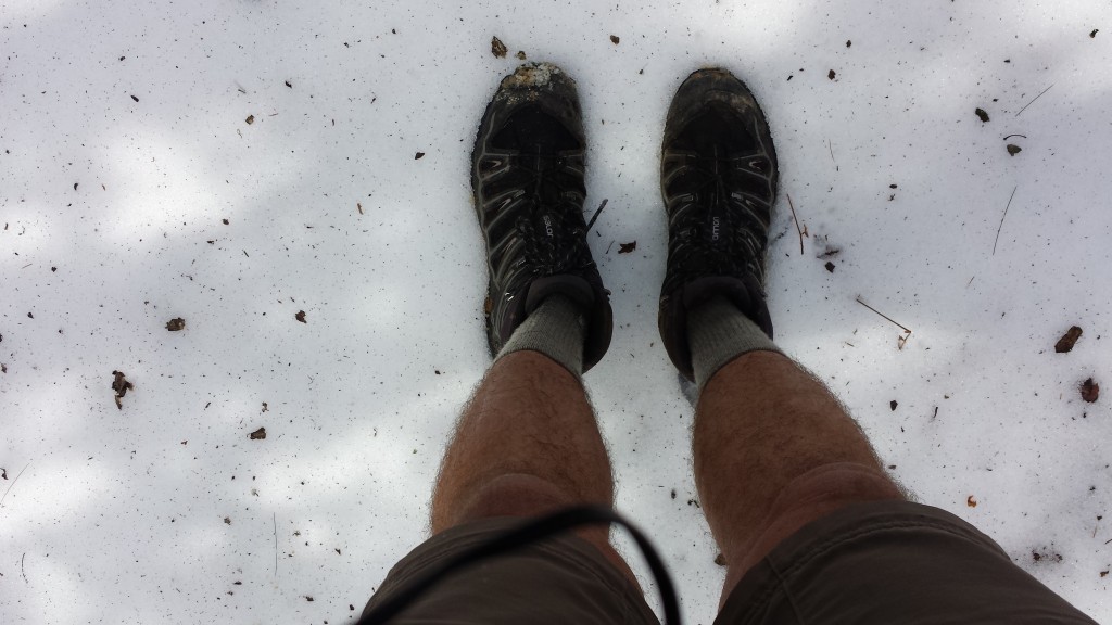
Doesn’t look as cold now as I remember it
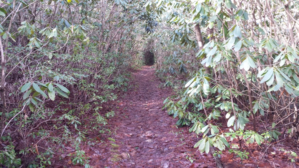
Bump a rhododendron branch while you’re passing under, and pay the price
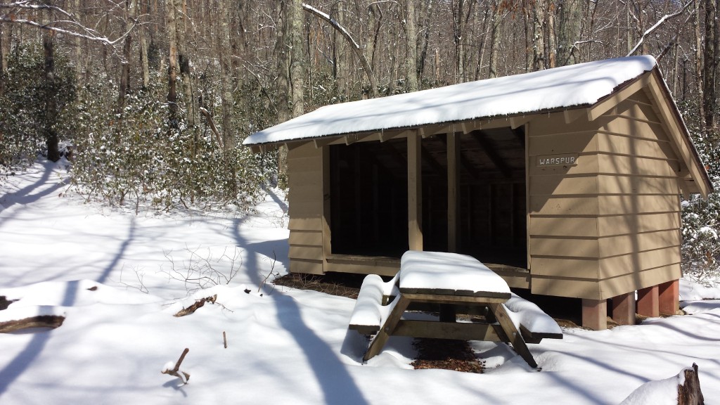
Not much going on in this first shelter I encountered on my first day back
“but my words, like silent raindrops fell, and echoed in the wells of silence“
The small white blaze on the tree in the center of this picture is the only indication I’m still on the trail
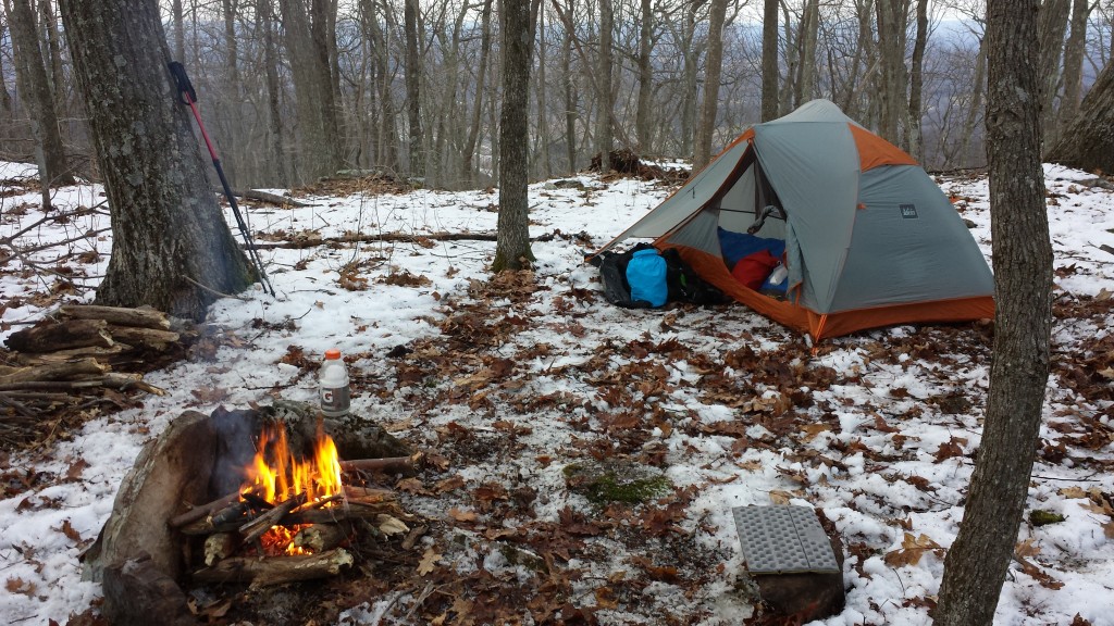
Camping, night three. With no streams nearby, the fireside Gatorade bottle full of snow melted nicely for water.
Since then, I’ve hiked an additional four days in mixed weather: one was sunny and 60, the others were rainy and colder. I decided to stay in town tonight (3/14) due to weather reports of thunderstorms. Rain hiking is run-of-the-mill on the AT, but for thunderstorms I will gladly take a night off if I’m near a town.
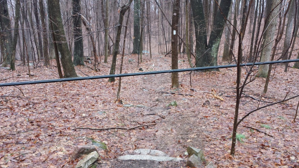
A first for me: a downed powerline blocking the trail on day five
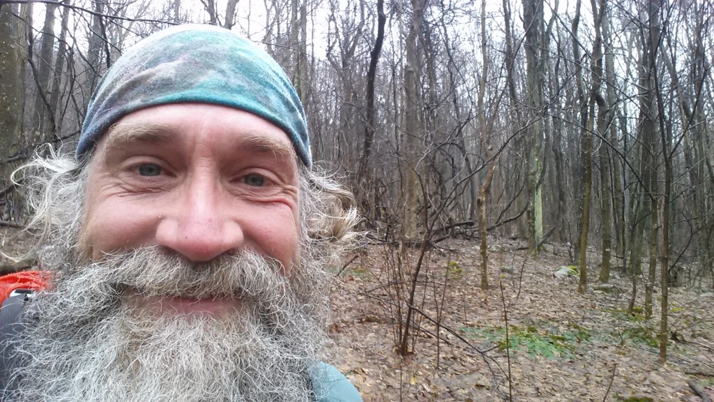
Me in the rain on day five
The lower of the two horizontal streams is the trail- glad I switched to waterproof shoes
Section hiking Papa Bear on day 5- first hiker I encountered
I’m surprised at how emotional it feels being back. You’d think I’d resent Virginia with all my foot troubles here in November, but I can’t help but love this place. The successive layers of hills and ridges, cast in that fabulous blue tint, as far as the eye can see, puts me at home in a way I can’t describe without sounding cheesy.
Hitching into town this morning, the first truck picked me up and Joe- the driver and recent transplant from Long Island, New York- insisted on taking me out for breakfast. We had breakfast sandwiches at Subway, which was a deja vu. Wendy and I picked up Toast, Stringbean and Ducky at this very spot in November on the way to hikers thanksgiving at Swish’ grandparents condo.
After 8 days hiking everything has fallen back into place, with the major exception being I’ve only seen 2 other hikers (both sectioners) on the trail. This is much more what I envisioned when I lit out from Maine in July- solitude, isolation, quiet. I thrive in these conditions, so I am enjoying it immensely, but I can’t help but miss my ‘trail family.’ Nearly every shelter I pass has an encouraging note from one of them. There is something spectacularly surreal about hiking 15 miles into the woods, arriving cold and tired at an isolated shelter blanketed in snow, to find a personal message left by a hiker friend I haven’t seen in months.
One of the many notes left for me by my hiker family
The picture is blurry but Neville’s organic cooking was spot on. Kitchen dinner with Papa Bear, Kickit, Neville and Sue at Wood’s Hole Hostel
Typical AT view from a Virginia peak- always another hazy blue ridgeline in the distance
Before I go, some unfinished business. People ask me often how/why I chose the name Maxheap as my trail name. Its a very long story, but one that begins with a drawing my oldest son did (using a computer mouse) when he was a kid. Here’s max.
The original Maxheap, by Oliver Goshey
Lastly, I’ve been listening to a lot of great music to pass the time, but its a song that is not on my iPod that has been stuck in my mind for days. Its an old Tom T. Hall tune that my mom- a big fan of country and western- played a lot when I was a kid. Follow the above link to hear the whole song, but I’ll leave you with the chorus, along with my sincere gratitude for tuning in again to catch up on my progress. I’ll update again in a week or so. Cheers.
I washed my face in the morning dew,
Bathed my soul in the sun.
Washed my face in the morning dew,
And kept on moving along.
Happy birthday tomorrow Wendy! Thank you for making this entire year possible!
If you’ve followed my hike from the beginning you may recall this comment: “…my only expectation is to enjoy myself, so this particular journey will either end when I stop having fun for a sustained period or when I hit the southern terminus of the trail…”
A few days ago I got a cortisone shot that provided some relief from the plantar fasciitis in my left heel, but combined with the early onset of bitter winter cold (waking up to frozen water bottles, frozen food, numb fingers and toes, etc.) , my “enjoyment” has been fading. Since the AT rules allow for 12 months to complete a thru-hike, I’ve decided to pause at 1520 miles and resume in the spring to complete my remaining 670 miles. Of course there’s a risk that life intervenes and prevents completion before my July deadline, but hopefully that will work out well like so many other details along the trail.
My heartfelt thanks for all of your support thus far and the blog will stay put for when I resume, so stay tuned! For those in Minnesota, I’ll be home for the holidays and look forward to seeing you all soon!
At mile 1520 (so far), Max
Me on my last trail day until spring
The view from hiker thanksgiving on Sugar Mountain